
How to Use Color-Coded Flags to Teach Early Map Reading
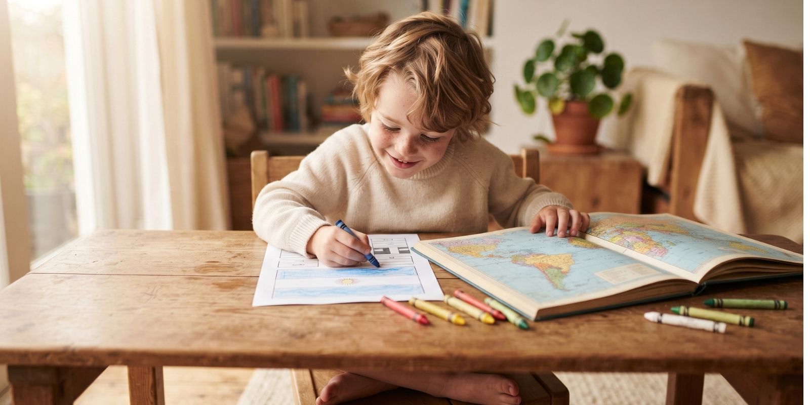
Most kids meet a map long before they can read one. A splash of green for forests, blue for water, a patchwork of colored borders — the color is doing real work, but a four- or five-year-old usually can’t yet decode what it means. Flags turn out to be an unexpectedly good bridge: a flag is a map’s color key wearing a simpler, more memorable shape.
Why flags make maps click for young kids
A political map asks a child to hold two abstractions at once — a shape (the country’s outline) and a color (which usually signals nothing more meaningful than “not the country next to it”). A flag strips that down to one clear, memorable pairing: this exact set of colors, in this exact pattern, belongs to this one place. Once a child has that pairing locked in from repeated flag coloring, spotting the same colors clustered on a map stops being abstract and starts being a matching game they already know how to win.
The skill-by-skill breakdown
- Color-to-place mapping. Coloring a flag’s official colors builds a strong, repeated association between a specific palette and a specific country — the same mental move mapmaking uses to group regions.
- Shape recognition. A country’s outline on a map and its flag’s proportions are both shapes a child learns to recognize on sight, reinforcing each other with practice.
- Symbol reading. Stars, seals, and crests on a flag are a gentle introduction to the idea that a small symbol can stand for something larger — the same logic behind a map’s legend.
- Regional grouping. Coloring flags volume by volume, continent by continent, naturally clusters countries the way an atlas does, without a child ever memorizing the word “continent.”
- Visual accuracy. Matching a flag’s exact color key trains the same close-looking, compare-and-check habit that reading a map’s legend later requires.
A simple way to pair flags with maps at home
- Color the flag first. Let your child finish a country’s flag page before looking at any map — the color key needs to be fresh in mind.
- Find the shape together. Open an atlas, a globe, or a simple printed map and help your child locate that same country.
- Ask what matches. Point to the country on the map and ask what color they’d expect to see there if the map used flag colors — it turns the exercise into a quick, playful quiz.
- Move region by region. Work through one continent’s worth of flags before jumping to the next, so the map stays a manageable size in a child’s head.
- Revisit old flags. Circling back to a country colored weeks earlier and asking “where does this one live?” is a fast, low-pressure way to check what’s sticking.
Every volume of Children of the World and Their Cultures groups its flag pages by continent, so the color-to-place matching in this exercise lines up naturally with how the series is already organized — no extra map or printable required.
What this builds toward
Map reading, at its core, is pattern matching: a color, a shape, or a symbol standing in for something too big to show directly. Flags give a child dozens of low-stakes practice rounds at exactly that skill, months or years before an actual map ever enters the picture. By the time an atlas does show up — in a classroom or on a family trip — the color-to-place instinct is already familiar.
Frequently asked questions
What age can kids start connecting flags to maps? Around age 4–5, once a child has colored a handful of flags and can reliably tell two countries’ flags apart, they’re usually ready to start matching a flag’s colors to that country’s spot on a map.
Do I need an atlas, or does a simple printed map work? A simple printed or hand-drawn map works fine — the goal is color-and-shape matching, not map-reading precision. A world map poster, a globe, or even a printout from an atlas app all work equally well.
How is this different from just memorizing flags? Memorizing a flag in isolation teaches recognition; pairing it with a map adds a spatial anchor, so the child is building a mental map of the world alongside the flag knowledge, not just a flashcard deck.
Haven't tried the series yet?
Grab a free 5-page sample from "Children of the World."